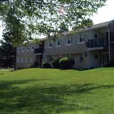
1839 Church Lane
Commute to Downtown Philadelphia
Most errands can be accomplished on foot.
Flat as a pancake, good bike lanes.
About your score
1839 Church Lane has a Walk Score of 85 out of 100. This location is Very Walkable so most errands can be accomplished on foot.
1839 Church Lane is a 15 minute walk from the BSS ATT Station to Fern Rock TC at the Olney Transportation Center stop.
This location is in the Logan - Ogontz - Fern Rock neighborhood in Philadelphia. Nearby parks include Belfield Recreation Center, Harpers Hollow Park and Belfield Playground.
Explore how far you can travel by car, bus, bike and foot from 1839 Church Lane.
Rail lines:
BSS ATT Station to Fern Rock TC
0.6 mi
Chestnut Hill East Line Chestnut Hill East Line
0.9 mi
Warminster Line Warminster Line
0.9 mi
West Trenton Line West Trenton Line
0.9 mi
Lansdale/Doylestown Line Lansdale/Doylestown Line
0.9 mi
Bus lines:
6 Cheltenham-Ogontz to OTC
0.0 mi
L Erdenheim/PlymthMtngMall to OTC
0.2 mi
55 Doylestown/Willow Grove to OTC
0.3 mi
22 Warminster/Willow Grove to OTC
0.3 mi
28 Fern Rock TC to Torresdale-Cottman
0.8 mi
BSO Midnight-5am Service (Bus) for BSL
0.8 mi
57 WhitmanPlaza to Fern Rock Trans Ctr
0.8 mi
70 Fkd-Gregg/Torr-Cottmn to FRTC
0.8 mi
Car shares:
1839 Church Lane compared to all of Philadelphia.
Lower crime area.
Lower crime area.
How do you feel walking near 1839 Church Lane?
Day:
Night:
Thanks for your feedback!
View all Logan - Ogontz - Fern Rock apartments on a map.

1839 Church Lane is in the Logan - Ogontz - Fern Rock neighborhood. Logan - Ogontz - Fern Rock is the 34th most walkable neighborhood in Philadelphia with a neighborhood Walk Score of 84.
Moving to Philadelphia from another city? View our moving to Philadelphia guide.
Broad St & Champlost Av
11th St & Champlost Av
11th St & Champlost Av


If you are using a screen reader or having trouble reading this website, please call Walk Score customer service at (253) 256-1634.
© 2025 Walk Score