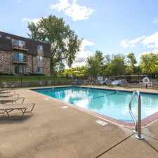
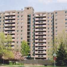
1988 Clear Avenue East
Southern Hayden Heights, St. Paul, 55119
Commute to Downtown Maplewood
Most errands require a car.
Flat as a pancake, good bike lanes.
About your score
1988 Clear Avenue East has a Walk Score of 27 out of 100. This location is a Car-Dependent neighborhood so most errands require a car.
This location is in the Southern Hayden Heights neighborhood in St. Paul.
Explore how far you can travel by car, bus, bike and foot from 1988 Clear Avenue East.
Bus lines:
80 Maplewood - White Bear Av - Sunray
0.4 mi
64 Payne - Maryland - White Bear Av - Maplewood
0.4 mi
74 46St - Randolph - W 7St - E 7St - Sunray
0.5 mi
1988 Clear Avenue East is in the Southern Hayden Heights neighborhood. Southern Hayden Heights is the 41st most walkable neighborhood in St. Paul with a neighborhood Walk Score of 31.


If you are using a screen reader or having trouble reading this website, please call Walk Score customer service at (253) 256-1634.
© 2026 Walk Score