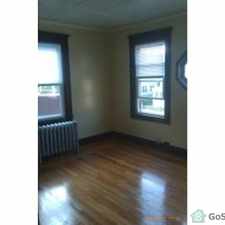
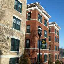
2 Signal Hill Cir
Almost all errands require a car.
A few nearby public transportation options.
Score Details
2 Signal Hill Cir has a Walk Score of 12 out of 100. This location is a Car-Dependent neighborhood so almost all errands require a car.
This location is in the East Forest Park neighborhood in Springfield. Nearby parks include Treetop Park, Helen C White Conservation Area and Helen C White Conservation Area.
Nearby schools include Clinton Nursery School & Kindergarten, Arthur T Talmadge Elementary School and Frederick Harris Elementary School.
The closest grocery stores are Allen Produce, Big Y - East Longmeadow and Edible Arrangements.
Nearby coffee shops include Pride and Dunkin' Donuts. Nearby restaurants include Peppa's Pizzeria, Jim Dandy Restaurant-Chicken & Mr and Golden Pizza.
2 Signal Hill Cir is near Treetop Park, Helen C White Conservation Area and Helen C White Conservation Area.
Explore how far you can travel by car, bus, bike and foot from 2 Signal Hill Cir.
2 Signal Hill Cir has some transit which means a few nearby public transportation options.
Bus lines:
G1 Chicopee Center - Big Y / Sumner & Allen
0.3 mi
B13 Maple Street / East Longmeadow
0.7 mi
G2 Carew-East Springfield / Belmont-Dwight Rd.
0.7 mi
View all East Forest Park apartments on a map.


2 Signal Hill Cir is in the East Forest Park neighborhood. East Forest Park is the 16th most walkable neighborhood in Springfield with a neighborhood Walk Score of 39.


If you are using a screen reader or having trouble reading this website, please call Walk Score customer service at (253) 256-1634.
© 2026 Walk Score