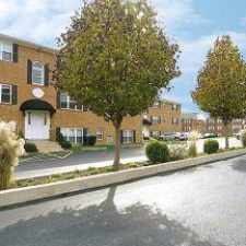
2010 Robert Burns Drive
Almost all errands require a car.
Score Details
2010 Robert Burns Drive has a Walk Score of 6 out of 100. This location is a Car-Dependent neighborhood so almost all errands require a car.
The closest school is Aston Elementary School.
The closest grocery stores are Wellington Best Foods, Di Alfredo Foods and Lilley's Fruit and Vegetables.
The closest coffee shop is Dunkin' Donuts. Nearby restaurants include Towne & Country Cafe, John's Corner Dell and Jack Cassidy's Irish Pub.
Explore how far you can travel by car, bus, bike and foot from 2010 Robert Burns Drive.
Bus lines:
119 Cheyney U to Chester TC
0.6 mi
114 Granite Run Mall to Darby TC
1.4 mi


If you are using a screen reader or having trouble reading this website, please call Walk Score customer service at (253) 256-1634.
© 2025 Walk Score