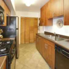
21342 Sand Dollar Lane
Most errands require a car.
Score Details
21342 Sand Dollar Lane has a Walk Score of 34 out of 100. This location is a Car-Dependent neighborhood so most errands require a car.
This location is in Huntington Beach. Nearby parks include Edison Community Park, Wetlands & Wildlife Care Center and Moffett Park.
Explore how far you can travel by car, bus, bike and foot from 21342 Sand Dollar Lane.
Bus lines:
173 Huntington Beach - Costa Mesa **
0.4 mi
33 Fullerton - Huntington Beach
0.4 mi
1 Long Beach - San Clemente
0.6 mi
29 Brea - Huntington Beach
0.6 mi
Car shares:
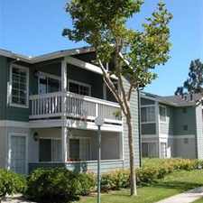
View all Huntington Beach apartments on a map.

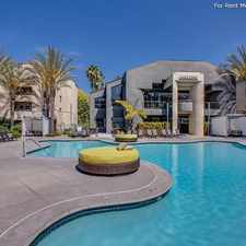
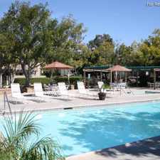
Popular apartment searches include fireplace, pool and furnished.
This location is in the city of Huntington Beach, CA. Huntington Beach has an average Walk Score of 52 and has 189,992 residents.
Huntington Beach Pier
Huntington Beach Pier
Huntington Beach Pedestrian Overpass


If you are using a screen reader or having trouble reading this website, please call Walk Score customer service at (253) 256-1634.
© 2026 Walk Score