
23269 N 35th Ave
Most errands require a car.
A few nearby public transportation options.
Minimal bike infrastructure.

23269 N 35th Ave has a Walk Score of 38 out of 100. This location is a Car-Dependent neighborhood so most errands require a car.
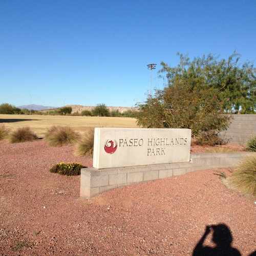
This location is in Phoenix. Nearby parks include Paseo Highlands Park, Paseo Highlands Park and Victory Lane Sports Park.

Right by shopping and restaurants so it is very convenient
Explore how far you can travel by car, bus, bike and foot from 23269 N 35th Ave.
23269 N 35th Ave has some transit which means a few nearby public transportation options.
Bus lines:
35 35th Ave
0.1 mi
This location is in the city of Phoenix, AZ. Phoenix has an average Walk Score of 41 and has 1,445,632 residents.

Roosevelt Historic District
Circle 6 Studios
Encanto Park
If you are using a screen reader or having trouble reading this website, please call Walk Score customer service at (253) 256-1634.
© 2026 Walk Score
Heather Lee