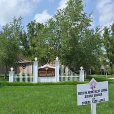
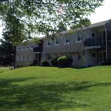
261 Abrams Road
King of Prussia, Pennsylvania, 19406
Commute to Downtown King of Prussia
261 Abrams Road has a Walk Score of 31 out of 100. This location is a Car-Dependent neighborhood so most errands require a car.
This location is in King of Prussia. Nearby parks include Heuser Park, Upper Merion Township Park and Merion View Park.
Explore how far you can travel by car, bus, bike and foot from 261 Abrams Road.
Bus lines:
131 Audubon to Norristown TC
1.0 mi
125 Valley Forge to 13th-Market
1.1 mi
99 Phoenixville to Norristown TC
1.2 mi
93 Pottstown to Norristown TC
1.2 mi
91 Graterford to Norristown TC
1.2 mi
View all King of Prussia apartments on a map.

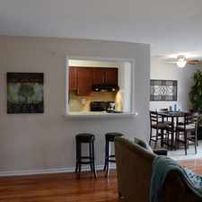
Popular apartment searches include pool, fitness and hardwood floor.
This location is in the city of King of Prussia, PA. King of Prussia has an average Walk Score of 35 and has 19,936 residents.
Learn More About King of Prussia


If you are using a screen reader or having trouble reading this website, please call Walk Score customer service at (253) 256-1634.
© 2026 Walk Score