2619 Cherry Circle
Raleigh, North Carolina, 27603
Commute to Downtown Garner
Almost all errands require a car.
A few nearby public transportation options.
Mostly flat, minimal bike lanes.
About your score
2619 Cherry Circle has a Walk Score of 22 out of 100. This location is a Car-Dependent neighborhood so almost all errands require a car.
This location is in Raleigh. Nearby parks include Peach Road Park, Hertford Village Mini-Park and Carolina Pines Park.
Explore how far you can travel by car, bus, bike and foot from 2619 Cherry Circle.
2619 Cherry Circle has some transit which means a few nearby public transportation options. Car sharing is available from RelayRides.
Bus lines:
7L Carolina Pines Connector
0.1 mi
7 South Saunders
0.2 mi
Car shares:
2619 Cherry Circle compared to all of Raleigh.
Higher crime area.
Higher crime area.
How do you feel walking near 2619 Cherry Circle?
Day:
Night:
Thanks for your feedback!
View all Raleigh apartments on a map.

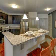
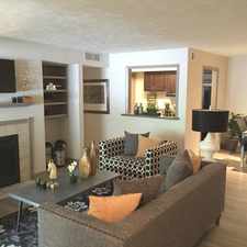
Popular apartment searches include pool, fitness and fireplace.
This location is in the city of Raleigh, NC. Raleigh has an average Walk Score of 30 and has 403,892 residents.
Nash Square
Sitti
Raleigh City Farm


If you are using a screen reader or having trouble reading this website, please call Walk Score customer service at (253) 256-1634.
© 2025 Walk Score