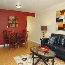
Contact for price 1 bed W 9th Ave, Denver CO, 80204


Sun Valley, Denver, 80204
Some errands can be accomplished on foot.
Many nearby public transportation options.
Flat as a pancake, excellent bike lanes.
About your score
Explore how far you can travel by car, bus, bike and foot from W 9th Ave.
W 9th Ave has good transit which means many nearby public transportation options. Car sharing is available from RelayRides.
Rail lines:
W Union Station to Jefferson County Government Center-Golden Station
0.5 mi
H 18th & California Station to Nine Mile Station
0.8 mi
C Union Station to Littleton-Mineral Station
0.8 mi
F 18th & California Station to Lincoln Station
0.8 mi
D 30th & Downing Station to Littleton-Mineral Station
0.8 mi
E Union Station to Lincoln Station
0.8 mi
Bus lines:
9 West 10th Avenue
0.1 mi
1W 1st Avenue
0.1 mi
33A Platte Valley
0.1 mi
33B Platte Valley
0.1 mi
30 South Federal Blvd
0.3 mi
31 Federal Blvd
0.3 mi
36L Fort Logan Limited
0.3 mi
30L South Federal Limited
0.3 mi
Car shares:
Bike shares:
W 9th Ave compared to all of Denver.
Higher crime area.
Average crime area.
How do you feel walking near W 9th Ave?
Day:
Night:
Thanks for your feedback!
W 9th Ave is in the Sun Valley neighborhood. Sun Valley is the 33rd most walkable neighborhood in Denver with a neighborhood Walk Score of 65.
Moving to Denver from another city? View our moving to Denver guide.


If you are using a screen reader or having trouble reading this website, please call Walk Score customer service at (253) 256-1634.
© 2024 Walk Score