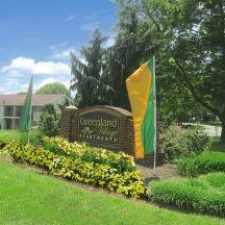
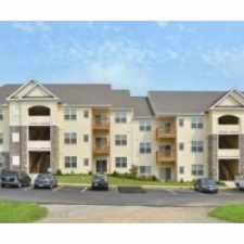
29 Farm Lane
Almost all errands require a car.
Score Details
29 Farm Lane has a Walk Score of 16 out of 100. This location is a Car-Dependent neighborhood so almost all errands require a car.
This location is in Lancaster. The closest park is Millersville Borough Park.
Nearby schools include Elizabeth R Martin Elementary School, Penn Manor High School and Eshleman Elementary School.
The closest grocery stores are Turkey Hill Minit Market, Turkey Hill Minit Market and John Herr Village Market Inc.
The closest coffee shop is George Street Cafe. Nearby restaurants include Nino's New York Style Pizza, Tropical Smoothie Cafe and Subway.
29 Farm Lane is near Brandon Park, Crystal Park and Farnum Park.
Explore how far you can travel by car, bus, bike and foot from 29 Farm Lane.
View all Lancaster apartments on a map.

Popular apartment searches include hardwood floor, single family and fireplace.
This location is in the city of Lancaster, PA. Lancaster has an average Walk Score of 80 and has 59,322 residents.
F & M
Splits & Giggles Ice Cream
Lancaster Theological Seminary


If you are using a screen reader or having trouble reading this website, please call Walk Score customer service at (253) 256-1634.
© 2026 Walk Score