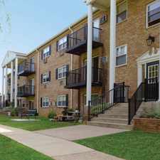
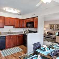
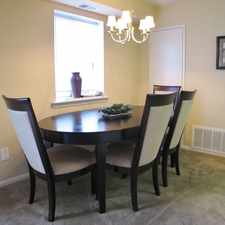
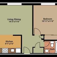
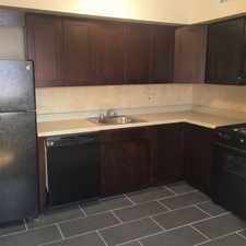
3030 Darnell Rd
Commute to Downtown Levittown
Almost all errands require a car.
A few nearby public transportation options.
Flat as a pancake, excellent bike lanes.
About your score
3030 Darnell Rd has a Walk Score of 22 out of 100. This location is a Car-Dependent neighborhood so almost all errands require a car.
This location is in the Northeast Philadelphia neighborhood in Philadelphia. The closest park is Liberty Bell Youth Org.
Explore how far you can travel by car, bus, bike and foot from 3030 Darnell Rd.
3030 Darnell Rd has some transit which means a few nearby public transportation options.
Bus lines:
50 Parx/FrankMillMall to Frankford TC
0.2 mi
1 Parx Casino to 54th-City
0.2 mi
20 Franklin Mills Mall to FTC
0.3 mi
67 Frank Mills Mall & Bustleton to FTC
0.3 mi
3030 Darnell Rd compared to all of Philadelphia.
Lowest crime area.
Lowest crime area.
How do you feel walking near 3030 Darnell Rd?
Day:
Night:
Thanks for your feedback!
View all Northeast Philadelphia apartments on a map.

Popular apartment searches include pool, fitness and furnished.
3030 Darnell Rd is in the Northeast Philadelphia neighborhood. Northeast Philadelphia is the 75th most walkable neighborhood in Philadelphia with a neighborhood Walk Score of 46.
Moving to Philadelphia from another city? View our moving to Philadelphia guide.
Christ The King Elementary School
Arts Academy at Benjamin Rush
Morrell Tavern


If you are using a screen reader or having trouble reading this website, please call Walk Score customer service at (253) 256-1634.
© 2026 Walk Score