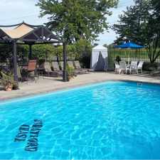
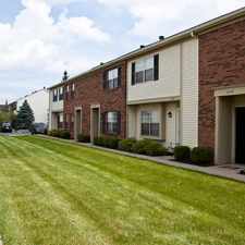
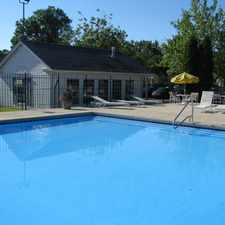
315 Eastwood Avenue
Westerville, Ohio, 43081
Commute to Downtown Westerville
315 Eastwood Avenue has a Walk Score of 44 out of 100. This location is a Car-Dependent neighborhood so most errands require a car.
This location is in Westerville. Nearby parks include Kiwanis Picnic Park, Boyer Nature Preserve and Walnut Ridge Park.
Explore how far you can travel by car, bus, bike and foot from 315 Eastwood Avenue.
Bus lines:
036 36 ANNEHURST
0.6 mi
037 37 WESTERVILLE
0.6 mi
027 27 BROOKSEDGE
1.1 mi
033 33 NORTH CENTRAL
1.3 mi
001 01 CLEVELAND/LIVINGSTON
1.3 mi
View all Westerville apartments on a map.

This location is in the city of Westerville, OH. Westerville has an average Walk Score of 28 and has 36,120 residents.
Amish Originals Furniture Co
Greaters Ice Cream
W MAIN ST & N STATE ST


If you are using a screen reader or having trouble reading this website, please call Walk Score customer service at (253) 256-1634.
© 2025 Walk Score