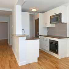
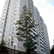
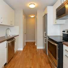
331 Saint Clarens Avenue
Dufferin Grove, Toronto, M6H 3W2
Commute to Downtown Toronto

Most errands can be accomplished on foot.

World-class public transportation.

Flat as a pancake, good bike lanes.
About your score
331 Saint Clarens Avenue has a Walk Score of 85 out of 100. This location is Very Walkable so most errands can be accomplished on foot.
331 Saint Clarens Avenue is an eight minute walk from the 2 LINE 2 (BLOOR - DANFORTH) at the LANSDOWNE STATION - EASTBOUND PLATFORM stop.
This location is in the Dufferin Grove neighborhood in Toronto. Nearby parks include McGregor Park, Dundas-St. Clarens Parkette and Dufferin Grove Park.
Explore how far you can travel by car, bus, bike and foot from 331 Saint Clarens Avenue.
331 Saint Clarens Avenue is a Rider’s Paradise which means world-class public transportation. Car sharing is available from Zipcar.
Rail lines:
306 CARLTON N.C.
0.5 km
506 CARLTON S.C.
0.5 km
2 LINE 2 (BLOOR - DANFORTH)
0.5 km
505 DUNDAS S.C.
0.6 km
Bus lines:
47 LANSDOWNE
0.1 km
300 BLOOR-DANFORTH NIGHT BUS
0.4 km
29 DUFFERIN
0.5 km
329 DUFFERIN NIGHT BUS
0.5 km
Car shares:
Bike shares:
View all Dufferin Grove apartments on a map.

331 Saint Clarens Avenue is in the Dufferin Grove neighborhood. Dufferin Grove is the 15th most walkable neighborhood in Toronto with a neighborhood Walk Score of 90.


If you are using a screen reader or having trouble reading this website, please call Walk Score customer service at (253) 256-1634.
© 2026 Walk Score