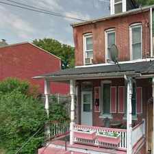
35 West Farnum Street
Daily errands do not require a car.
Score Details
35 West Farnum Street has a Walk Score of 97 out of 100. This location is a Walker’s Paradise so daily errands do not require a car.
This location is in Lancaster. Nearby parks include Conlin Field Farnum Park, Farnum Park and Binns Park.
Nearby schools include Resurrection Catholic School, Carter and Macrae Elementary School and Mustardseed Child Care Services.
The closest grocery stores are Andromeda Grocery Store, Save-A-Lot and Save-A-Lot.
Nearby coffee shops include Lancaster County Coffee Roasters, Pawscoffee and Tellus360. Nearby restaurants include Prince Of Subs, Nelly's Place and Dominion Pizza.
35 West Farnum Street is near Farnum Park, Pennsylvania College of Art and Design and Musser Park.
Explore how far you can travel by car, bus, bike and foot from 35 West Farnum Street.
View all Lancaster apartments on a map.

Popular apartment searches include hardwood floor, pool and fitness.
This location is in the city of Lancaster, PA. Lancaster has an average Walk Score of 80 and has 59,322 residents.
Sugar Bowl Restaurant
Reynolds Middle School
Wolf Museum of Music & Art


If you are using a screen reader or having trouble reading this website, please call Walk Score customer service at (253) 256-1634.
© 2025 Walk Score