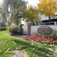
3510 South 300 West
South Salt Lake, Utah, 84115
Commute to Downtown South Salt Lake
3510 South 300 West has a Walk Score of 31 out of 100. This location is a Car-Dependent neighborhood so most errands require a car.
3510 South 300 West is a 11 minute walk from the 701 BLUE LINE, the 703 RED LINE and the 710 UNIV-DRAPER at the MILLCREEK STATION stop.
This location is in South Salt Lake. Nearby parks include Harmony Park and Truckers Family Camp.
Explore how far you can travel by car, bus, bike and foot from 3510 South 300 West.
Rail lines:
701 BLUE LINE
0.4 mi
710 UNIV-DRAPER
0.4 mi
703 RED LINE
0.4 mi
Bus lines:
39 3900 SOUTH
0.3 mi
35 3500 SOUTH
0.4 mi
35M MAX - 3500 SOUTH
0.4 mi
33 3300 SOUTH
0.4 mi
41 4100 SOUTH
0.5 mi
Car shares:
View all South Salt Lake apartments on a map.

Popular apartment searches include fitness, pool and fireplace.
This location is in the city of South Salt Lake, UT. South Salt Lake has an average Walk Score of 53 and has 23,617 residents.
Learn More About South Salt Lake


If you are using a screen reader or having trouble reading this website, please call Walk Score customer service at (253) 256-1634.
© 2026 Walk Score