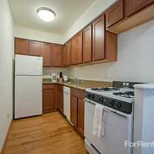
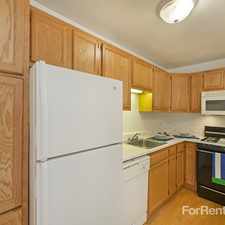
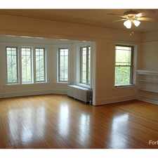
3606 N Pulaski Rd
Most errands can be accomplished on foot.
Transit is convenient for most trips.
Flat as a pancake, some bike lanes.
About your score
3606 N Pulaski Rd has a Walk Score of 77 out of 100. This location is Very Walkable so most errands can be accomplished on foot.
3606 N Pulaski Rd is a 11 minute walk from the Blue Line at the Addison-Blue stop.
This location is in the South Old Irving Park neighborhood in Chicago. Nearby parks include Independence Park, Independence Park and Parkview Park.
Explore how far you can travel by car, bus, bike and foot from 3606 N Pulaski Rd.
3606 N Pulaski Rd has excellent transit which means transit is convenient for most trips. Car sharing is available from RelayRides, I-GO, Zipcar and Getaround.
Rail lines:
UP-NW Union Pacific Northwest
0.4 mi
Blue Line
0.4 mi
MD-N Milwaukee North
0.7 mi
Bus lines:
53 Pulaski
0.0 mi
152 Addison
0.0 mi
56 Milwaukee
0.3 mi
Car shares:
3606 N Pulaski Rd compared to all of Chicago.
Lower crime area.
Lower crime area.
How do you feel walking near 3606 N Pulaski Rd?
Day:
Night:
Thanks for your feedback!
3606 N Pulaski Rd is in the South Old Irving Park neighborhood. South Old Irving Park is the 45th most walkable neighborhood in Chicago with a neighborhood Walk Score of 78.
Moving to Chicago from another city? View our moving to Chicago guide.


If you are using a screen reader or having trouble reading this website, please call Walk Score customer service at (253) 256-1634.
© 2026 Walk Score