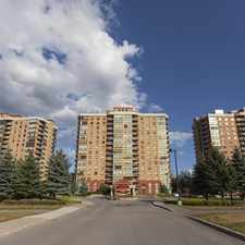
365 Livery Street
Almost all errands require a car.
A few nearby public transportation options.
Flat as a pancake, good bike lanes.
About your score
365 Livery Street has a Walk Score of 1 out of 100. This location is a Car-Dependent neighborhood so almost all errands require a car.
This location is in the Stittsville neighborhood in Ottawa. Nearby parks include Slate Park, Fringewood Park and Comunity Centre and Dog Bone Park.
Explore how far you can travel by car, bus, bike and foot from 365 Livery Street.
365 Livery Street has some transit which means a few nearby public transportation options.
Bus lines:
167
0.4 km
92
0.7 km
261
1.2 km
View all Stittsville apartments on a map.

365 Livery Street is in the Stittsville neighborhood. Stittsville is the 19th most walkable neighborhood in Ottawa with a neighborhood Walk Score of 41.


If you are using a screen reader or having trouble reading this website, please call Walk Score customer service at (253) 256-1634.
© 2026 Walk Score