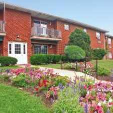
3990 Turner Street
Most errands require a car.
Score Details
3990 Turner Street has a Walk Score of 40 out of 100. This location is a Car-Dependent neighborhood so most errands require a car.
This location is in Bethlehem. Nearby parks include Bethlehem Township Park, Northdale Park and East Hills Park.
Nearby schools include Miller Heights Elementary School, Sacred Heart School and Bethlehem Christian School.
The closest grocery stores are Heights Market, Pat's Market & Deli and Giant Food Stores.
The closest coffee shop is Dunkin' Donuts. Nearby restaurants include Kingfish American Bistro & Wine Bar, Geaker's Tacos and Fratelli Pizzeria.
3990 Turner Street is near Jenkins Park, Yellis Tract and Monocacy Creek Area.
Explore how far you can travel by car, bus, bike and foot from 3990 Turner Street.
Bus lines:
212
0.2 mi
101
0.5 mi
220
1.0 mi
This location is in the city of Bethlehem, PA. Bethlehem has an average Walk Score of 55 and has 74,982 residents.
Learn More About Bethlehem


If you are using a screen reader or having trouble reading this website, please call Walk Score customer service at (253) 256-1634.
© 2025 Walk Score