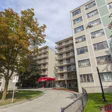
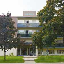
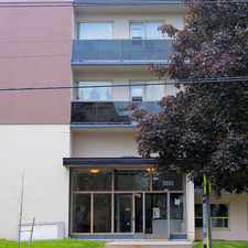
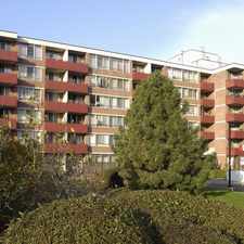
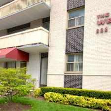
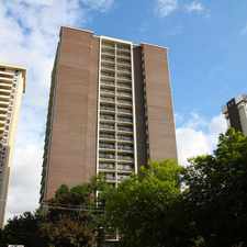
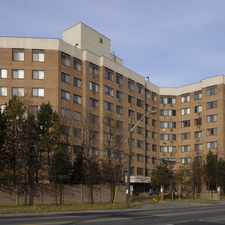
426 Dawes Road
Most errands can be accomplished on foot.
Transit is convenient for most trips.
Mostly flat, good bike lanes.
Score Details
426 Dawes Road has a Walk Score of 81 out of 100. This location is Very Walkable so most errands can be accomplished on foot.
426 Dawes Road is a 17 minute walk from the 2 LINE 2 (BLOOR - DANFORTH) at the VICTORIA PARK STATION - WESTBOUND PLATFORM stop.
This location is in the O'Connor-Parkview neighborhood in Toronto. Nearby parks include Donora Park, George Webster Park and Taylor Creek Park.
Explore how far you can travel by car, bus, bike and foot from 426 Dawes Road.
426 Dawes Road has excellent transit which means transit is convenient for most trips. Car sharing is available from Zipcar.
Rail lines:
2 LINE 2 (BLOOR - DANFORTH)
1.0 km
306 CARLTON
1.5 km
506 CARLTON
1.5 km
Lakeshore East Train
1.7 km
Bus lines:
23 DAWES
0.1 km
24 VICTORIA PARK
0.3 km
324 VICTORIA PARK
0.3 km
135 GERRARD
1.6 km
64 MAIN
1.6 km
Car shares:
View all O'Connor-Parkview apartments on a map.

426 Dawes Road is in the O'Connor-Parkview neighborhood. O'Connor-Parkview is the 85th most walkable neighborhood in Toronto with a neighborhood Walk Score of 67.


If you are using a screen reader or having trouble reading this website, please call Walk Score customer service at (253) 256-1634.
© 2026 Walk Score