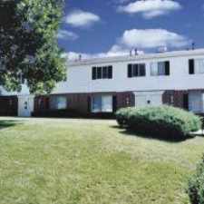
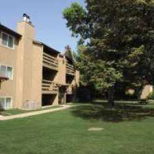
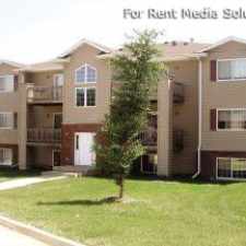
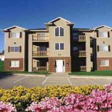
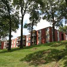
4390 County Highway E36
Almost all errands require a car.
Score Details
4390 County Highway E36 has a Walk Score of 3 out of 100. This location is a Car-Dependent neighborhood so almost all errands require a car.
This location is in Cedar Rapids. Nearby parks include Rock Island Preserve, Fay M Clark Memorial Park and Rock Island Botanical State Preserve.
Nearby schools include Xavier High School and Viola Gibson Elementary School.
The closest grocery stores are Farmer's Daughter's Market, River Market LLC and Fareway Grocery.
Nearby coffee shops include Tatyana's and Brickside Cafe. Nearby restaurants include Blimpie, Lava Fusion and Panchero's Mexican Grill.
4390 County Highway E36 is near Rock Island Botanical Preserve, Fay M Clark Memorial Park and Manhattan-Robbins Lake Park.
Explore how far you can travel by car, bus, bike and foot from 4390 County Highway E36.
View all Cedar Rapids apartments on a map.


Popular apartment searches include fitness, pool and fireplace.
This location is in the city of Cedar Rapids, IA. Cedar Rapids has an average Walk Score of 32 and has 126,326 residents.
Learn More About Cedar Rapids

If you are using a screen reader or having trouble reading this website, please call Walk Score customer service at (253) 256-1634.
© 2026 Walk Score