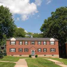
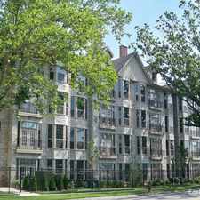
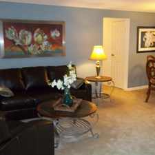
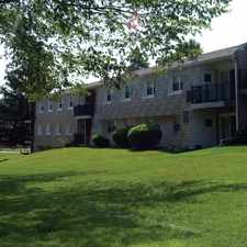
480 Paoli Avenue
Roxborough, Philadelphia, 19128
Commute to Downtown Philadelphia
Some errands can be accomplished on foot.
A few nearby public transportation options.
Mostly flat, minimal bike lanes.
About your score
480 Paoli Avenue has a Walk Score of 69 out of 100. This location is Somewhat Walkable so some errands can be accomplished on foot.
This location is in the Roxborough neighborhood in Philadelphia. Nearby parks include Gorgas Park, Gorgas Park and Pretzel Park.
Explore how far you can travel by car, bus, bike and foot from 480 Paoli Avenue.
480 Paoli Avenue has some transit which means a few nearby public transportation options. Car sharing is available from Zipcar.
Rail lines:
Manayunk/Norristown Line Manayunk/Norristown Line
0.7 mi
Bus lines:
35 Manayunk Roxborough Loop
0.0 mi
9 4th-Walnut to Andorra
0.0 mi
62 9th-Market to Andorra
0.2 mi
Car shares:
480 Paoli Avenue compared to all of Philadelphia.
Lowest crime area.
Lower crime area.
How do you feel walking near 480 Paoli Avenue?
Day:
Night:
Thanks for your feedback!
View all Roxborough apartments on a map.

Popular apartment searches include hardwood floor, fitness and pool.
480 Paoli Avenue is in the Roxborough neighborhood. Roxborough is the 72nd most walkable neighborhood in Philadelphia with a neighborhood Walk Score of 54.
Moving to Philadelphia from another city? View our moving to Philadelphia guide.


If you are using a screen reader or having trouble reading this website, please call Walk Score customer service at (253) 256-1634.
© 2025 Walk Score