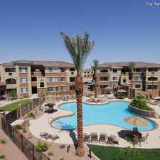
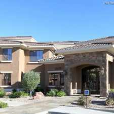
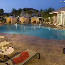
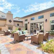
4870 North Monte Cristo Way
Almost all errands require a car.
It is possible to get on a bus.
Flat as a pancake, minimal bike lanes.
Score Details
4870 North Monte Cristo Way has a Walk Score of 23 out of 100. This location is a Car-Dependent neighborhood so almost all errands require a car.
This location is in Las Vegas. Nearby parks include W Wayne Bunker Family Park and Cimarron Rose Park.
Explore how far you can travel by car, bus, bike and foot from 4870 North Monte Cristo Way.
Bus lines:
106 Rancho/Centennial Hills
0.6 mi
219 Craig Rd
0.7 mi
101 Rainbow
0.7 mi
This location is in the city of Las Vegas, NV. Las Vegas has an average Walk Score of 39 and has 583,756 residents.

Pioneer Park
Huntridge Drug Store
Golden Nugget Hotel & Casino


If you are using a screen reader or having trouble reading this website, please call Walk Score customer service at (253) 256-1634.
© 2026 Walk Score