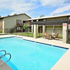
4928 West Joyce Circle
Most errands require a car.
A few nearby public transportation options.
Flat as a pancake, excellent bike lanes.
Score Details
4928 West Joyce Circle has a Walk Score of 31 out of 100. This location is a Car-Dependent neighborhood so most errands require a car.
This location is in the Deer Valley neighborhood in Phoenix. Nearby parks include Sunburst Paradise Park, Chapparal Park and Country Gables Park.
Explore how far you can travel by car, bus, bike and foot from 4928 West Joyce Circle.
4928 West Joyce Circle has some transit which means a few nearby public transportation options.
Bus lines:
170 Bell
0.2 mi
43 43rd Avenue
0.7 mi
View all Deer Valley apartments on a map.

Popular apartment searches include pool, fireplace and fitness.
4928 West Joyce Circle is in the Deer Valley neighborhood. Deer Valley is the 10th most walkable neighborhood in Phoenix with a neighborhood Walk Score of 29.
Moving to Phoenix from another city? View our moving to Phoenix guide.
Werner's Field Park
The Shops at Norterra
The Shops at Norterra


If you are using a screen reader or having trouble reading this website, please call Walk Score customer service at (253) 256-1634.
© 2025 Walk Score