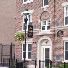
55 Manhattan Street
Old Hill, Springfield, 01109
Commute to Downtown Springfield
Some errands can be accomplished on foot.
A few nearby public transportation options.
About your score
55 Manhattan Street has a Walk Score of 66 out of 100. This location is Somewhat Walkable so some errands can be accomplished on foot.
This location is in the Old Hill neighborhood in Springfield. Nearby parks include Gerrish Park, Harriet Tubman Park and Pendleton Ave. Park.
Explore how far you can travel by car, bus, bike and foot from 55 Manhattan Street.
55 Manhattan Street has some transit which means a few nearby public transportation options.
Bus lines:
G3 Spfld. Plaza via Liberty/King-Westford-Walnut/Spfl
0.1 mi
B13 Maple Street / East Longmeadow
0.2 mi
55 Manhattan Street is in the Old Hill neighborhood. Old Hill is the 3rd most walkable neighborhood in Springfield with a neighborhood Walk Score of 73.


If you are using a screen reader or having trouble reading this website, please call Walk Score customer service at (253) 256-1634.
© 2026 Walk Score