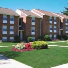
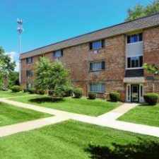
5603 Turtle Street
Most errands require a car.
Score Details
5603 Turtle Street has a Walk Score of 31 out of 100. This location is a Car-Dependent neighborhood so most errands require a car.
Nearby parks include Silver Lake County Park and Levittown Public Recreation Association Park.
Nearby schools include Bristol High School, Bristol Middle School and St Ann School.
The closest grocery stores are Bristol Amish Market LLC, layla`s turkish market grocery and halal meat. and Purex Corporation Ltd Groceries.
Nearby coffee shops include Mary's Gourmet Donut Shoppe, Dunkin' Donuts and Radcliffe Cafe. Nearby restaurants include Give & Take Deli, BURGER KING® and Gabriela's Tomato Pie LLC.
Explore how far you can travel by car, bus, bike and foot from 5603 Turtle Street.
Rail lines:
Trenton Line Trenton Line
1.0 mi
Bus lines:
129 Frankford-Knights to Oxford Valley
0.1 mi
128 Neshaminy to Oxford Valley Mall
0.6 mi


If you are using a screen reader or having trouble reading this website, please call Walk Score customer service at (253) 256-1634.
© 2025 Walk Score