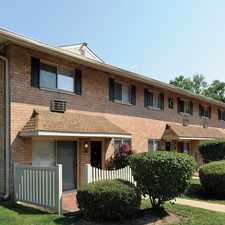
618 West Chestnut Street
West Chester, Pennsylvania, 19380
Commute to Downtown West Chester
618 West Chestnut Street has a Walk Score of 75 out of 100. This location is Very Walkable so most errands can be accomplished on foot.
This location is in West Chester. Nearby parks include Everhart Park, Hoopes Park and Marshall Square.
Explore how far you can travel by car, bus, bike and foot from 618 West Chestnut Street.
Bus lines:
92 Exton to King of Prussia
0.4 mi
104 West Chester U to 69th St TC
0.4 mi
Car shares:
This location is in the city of West Chester, PA. West Chester has an average Walk Score of 79 and has 18,461 residents.

Everhart Park
Market St & High St
West Chester Methodist Chldrs's Center


If you are using a screen reader or having trouble reading this website, please call Walk Score customer service at (253) 256-1634.
© 2025 Walk Score