
6332 Richmond Highway
Rose Hill, Virginia, 22306
Commute to Downtown Huntington
Most errands can be accomplished on foot.
Minimal bike infrastructure.

6332 Richmond Highway has a Walk Score of 74 out of 100. This location is Very Walkable so most errands can be accomplished on foot.
This location is in Rose Hill. Nearby parks include Lenclair Park, Fort Willard Park and Belle Haven Park.

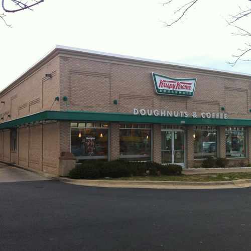
Watch for the red light- it means the doughnuts are HOT
Explore how far you can travel by car, bus, bike and foot from 6332 Richmond Highway.
Rail lines:
YL Yellow
1.1 mi
Bus lines:
162 Hybla Valley Clockwise
0.1 mi
151 Engleside - Mt Vernon
0.1 mi
171 Richmond Hwy
0.1 mi
161 Hybla Valley Counter-Clockwise
0.1 mi
152 Groveton - Mt Vernon
0.1 mi
F1X RICHMOND HWY
0.2 mi
159 Engleside Limited-Stop
0.2 mi
This location is in the city of Rose Hill, VA. Rose Hill has an average Walk Score of 29 and has 20,226 residents.
Learn More About Rose HillIf you are using a screen reader or having trouble reading this website, please call Walk Score customer service at (253) 256-1634.
© 2026 Walk Score
James Nellis II