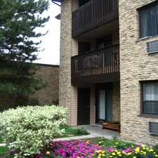
64 Durness Avenue
Most errands require a car.
Many nearby public transportation options.
Flat as a pancake, some bike lanes.
About your score
64 Durness Avenue has a Walk Score of 49 out of 100. This location is a Car-Dependent neighborhood so most errands require a car.
This location is in the Rouge neighborhood in Toronto. Nearby parks include Adams Park, Fanfare Avenue and Rouge Valley Park.
Explore how far you can travel by car, bus, bike and foot from 64 Durness Avenue.
64 Durness Avenue has good transit which means many nearby public transportation options.
Bus lines:
85 SHEPPARD EAST
0.1 km
Oshawa / Yorkdale
0.5 km
900 PULSE
0.5 km
103 Glenanna
0.5 km
95 YORK MILLS
0.7 km
View all Rouge apartments on a map.

64 Durness Avenue is in the Rouge neighborhood. Rouge is the 140th most walkable neighborhood in Toronto with a neighborhood Walk Score of 42.


If you are using a screen reader or having trouble reading this website, please call Walk Score customer service at (253) 256-1634.
© 2026 Walk Score