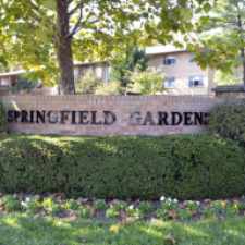
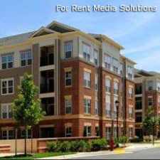
6905 Brisbane Street
Almost all errands require a car.
Score Details
6905 Brisbane Street has a Walk Score of 18 out of 100. This location is a Car-Dependent neighborhood so almost all errands require a car.
This location is in West Springfield. Nearby parks include West Springfield Park, Rolling Forest Park and West Springfield Village Park.
Nearby schools include West Springfield Elementary School, Rolling Valley Elementary School and Keene Mill Elementary School.
The closest grocery stores are Jummah Bazaar, Potatoes IV Real Inc and Whole Foods Market.
Nearby coffee shops include Starbucks, Panera Bread and Panera Bread. Nearby restaurants include Waffle & Grill Restaurant, Afghan Kabob Restaurant and Coffee Pialeh Hookah Bar & Lounge.
6905 Brisbane Street is near West Springfield Park, Rolling Forest Park and West Springfield Village Park.
Explore how far you can travel by car, bus, bike and foot from 6905 Brisbane Street.
Bus lines:
18S
0.1 mi
18H
0.3 mi
Car shares:
View all West Springfield apartments on a map.

Popular apartment searches include fireplace, hardwood floor and pool. View all West Springfield apartments and rentals.
This location is in the city of West Springfield, VA. West Springfield has an average Walk Score of 25 and has 22,460 residents.
Learn More About West Springfield