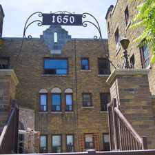
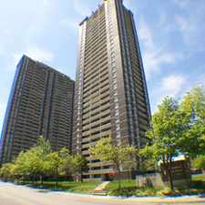
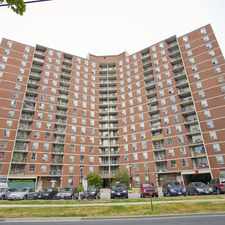
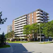
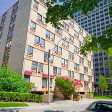
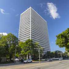
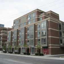
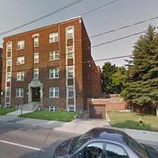
7 Henry Street

Daily errands do not require a car.

World-class public transportation.

Flat as a pancake, some bike lanes.
Score Details
7 Henry Street has a Walk Score of 99 out of 100. This location is a Walker’s Paradise so daily errands do not require a car.
7 Henry Street is a four minute walk from the 505 DUNDAS at the DUNDAS ST WEST AT BEVERLEY ST stop.
This location is in the Kensington-Chinatown neighborhood in Toronto. Nearby parks include Butterfield Park, Grange Park and Front Campus.
Explore how far you can travel by car, bus, bike and foot from 7 Henry Street.
7 Henry Street is a Rider’s Paradise which means world-class public transportation. Car sharing is available from Zipcar.
Rail lines:
306 CARLTON
0.3 km
506 CARLTON
0.3 km
505 DUNDAS
0.3 km
1 LINE 1 (YONGE-UNIVERSITY-SPADINA)
0.4 km
510 SPADINA
0.4 km
Bus lines:
142 DOWNTOWN/AVENUE RD EXPRESS
0.3 km
5 AVENUE RD
0.3 km
6 BAY
0.7 km
Car shares:
Bike shares:
View all Kensington-Chinatown apartments on a map.

7 Henry Street is in the Kensington-Chinatown neighborhood. Kensington-Chinatown is the 3rd most walkable neighborhood in Toronto with a neighborhood Walk Score of 97.
OCAD University
Historic Campbell House Toronto
OCAD University

If you are using a screen reader or having trouble reading this website, please call Walk Score customer service at (253) 256-1634.
© 2026 Walk Score