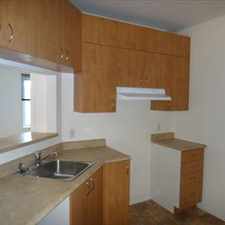
70 Rue Staël

Some errands can be accomplished on foot.

A few nearby public transportation options.
About your score
70 Rue Staël has a Walk Score of 59 out of 100. This location is Somewhat Walkable so some errands can be accomplished on foot.
This location is in Laval. Nearby parks include Parc Horizon-Jeunesse, Parc des Érables and Halte Picasso.
Explore how far you can travel by car, bus, bike and foot from 70 Rue Staël.
70 Rue Staël has some transit which means a few nearby public transportation options.
Rail lines:
SJ Saint-Jrme
1.2 km
Bus lines:
39 Direction Terminus Le Carrefour
0.2 km
45 Direction Mtro Montmorency
0.2 km
31 Direction Terminus Henri-Bourassa
0.2 km
17 Direction Mtro Cartier
0.2 km
45 Direction Auteuil
0.2 km
39 Direction Auteuil
0.2 km
31 Direction Auteuil
0.2 km
17 Direction Auteuil
0.2 km
73 Direction Fabreville
0.4 km
24 Sainte-Anne-des-Plaines - Laval (mtro Cartier)
0.4 km
View all Laval apartments on a map.

Popular apartment searches include pool, fitness and top floor.
This location is in the city of Laval, QC. Laval has an average Walk Score of 47 and has 401,553 residents.
Learn More About Laval



If you are using a screen reader or having trouble reading this website, please call Walk Score customer service at (253) 256-1634.
© 2026 Walk Score