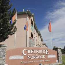
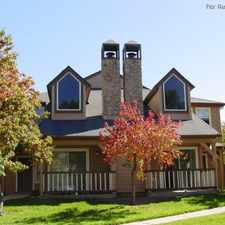
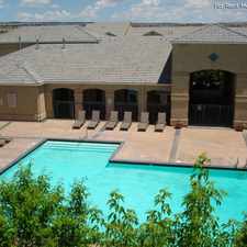
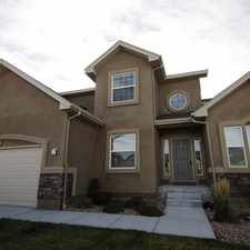
7030 Churchwood Circle
Northeast Colorado Springs, Colorado Springs, 80918
Commute to Downtown Colorado Springs

Most errands require a car.

It is possible to get on a bus.

Steep hills, excellent bike lanes.
Score Details
7030 Churchwood Circle has a Walk Score of 28 out of 100. This location is a Car-Dependent neighborhood so most errands require a car.
This location is in the Northeast Colorado Springs neighborhood in Colorado Springs. Nearby parks include Woodland Hills Park, Cottonwood Park and Cottonwood Creek Recreation Center.
Nearby schools include Pioneer Elementary School, Rocky Mountain Montessori Academy and Frontier Elementary School.
The closest grocery stores are King Soopers and Albertsons.
Nearby coffee shops include Starbucks, Starbucks and Special Grounds. There are 10 restaurants within a 15 minute walk including BURGER KING®, Firehouse Southern Style BBQ and McDonald's.
7030 Churchwood Circle is near Woodland Hills Park, Woodland Hills Open Space and Cottonwood Creek Park.
There are excellent bike lanes and the terrain has steep hills. 7030 Churchwood Circle is somewhat bikeable, there is minimal bike infrastructure.
Explore how far you can travel by car, bus, bike and foot from 7030 Churchwood Circle.
7030 Churchwood Circle is in the Northeast Colorado Springs neighborhood. Northeast Colorado Springs is the 5th most walkable neighborhood in Colorado Springs with a neighborhood Walk Score of 34.
Moving to Colorado Springs from another city? View our moving to Colorado Springs guide.

Cottonwood Creek Recreation Center
Cottonwood Creek Recreation Center
Cottonwood Creek Recreation Center



If you are using a screen reader or having trouble reading this website, please call Walk Score customer service at (253) 256-1634.
© 2026 Walk Score