7410 Farnum Street
Almost all errands require a car.
Score Details
7410 Farnum Street has a Walk Score of 18 out of 100. This location is a Car-Dependent neighborhood so almost all errands require a car.
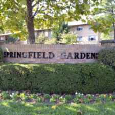
This location is in Springfield. Nearby parks include Backlick Stream Valley Park, Wilburdale Park and Flag Run Park.
Nearby schools include North Springfield Elementary School, Phillips School-annandale and Springfield Academy.
The closest grocery stores are Giant Food, The Swiss Bakery and Pastry Shop and Phuoc Hoa Market.
Nearby coffee shops include Green Parrot Cafe, Royal Cafe and Starbucks. Nearby restaurants include Digital Dining, McDonald's and Szechuan Star.
7410 Farnum Street is near Leewood Park, North Springfield Park and Brookfield Park.
Explore how far you can travel by car, bus, bike and foot from 7410 Farnum Street.
Rail lines:
Manassas Line
1.2 mi
Bus lines:
306 GMU Line
0.3 mi
17A
0.3 mi
17M
0.3 mi
17B
0.5 mi
Car shares:
View all Springfield apartments on a map.

Popular apartment searches include fireplace, pool and hardwood floor.
This location is in the city of Springfield, VA. Springfield has an average Walk Score of 34 and has 30,484 residents.
Springfield Square Apartments
Blue Pearl Buffet
Fonda Latina Panaderia


If you are using a screen reader or having trouble reading this website, please call Walk Score customer service at (253) 256-1634.
© 2025 Walk Score