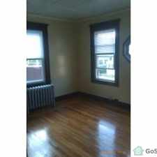
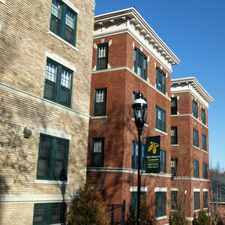
76 Balfour Dr

Most errands require a car.

A few nearby public transportation options.
Score Details
76 Balfour Dr has a Walk Score of 41 out of 100. This location is a Car-Dependent neighborhood so most errands require a car.
This location is in the East Forest Park neighborhood in Springfield. Nearby parks include Nathan Bill Park, Bill Playground and Edward J Murphy Park.
Nearby schools include Dryden Memorial Elementary School, Cathedral High School and St Michaels Academy - Elementary Campus.
The closest grocery stores are Spring Valley Food Mart, Wave Mart and Angies Grocery Store.
Nearby coffee shops include Dunkin' Donuts, Auntie Cathies Bakery and Cafe. Nearby restaurants include Nathan Bill's Bar & Restaurant, Frankie & Johnnie's Pizza and Hummingbird Restaurants.
76 Balfour Dr is near Nathan Bill Park, Edward J Murphy Park and Springfield College.
Explore how far you can travel by car, bus, bike and foot from 76 Balfour Dr.
76 Balfour Dr has some transit which means a few nearby public transportation options.
Bus lines:
G8 Orange - Plumtree / Springfield Bus Treminal
0.3 mi
76 Balfour Dr is in the East Forest Park neighborhood. East Forest Park is the 16th most walkable neighborhood in Springfield with a neighborhood Walk Score of 39.




If you are using a screen reader or having trouble reading this website, please call Walk Score customer service at (253) 256-1634.
© 2026 Walk Score