
791 Harriet Street
Most errands require a car.
A few nearby public transportation options.
Minimal bike infrastructure.

791 Harriet Street has a Walk Score of 46 out of 100. This location is a Car-Dependent neighborhood so most errands require a car.
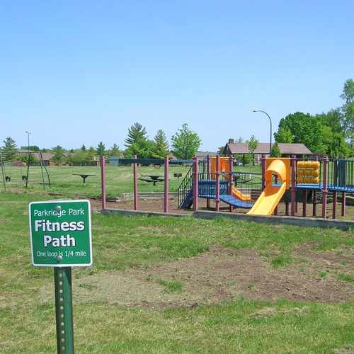
This location is in Ypsilanti. Nearby parks include Parkridge Park, Carrie Mattingly Tot Lot and Ometha M Smith Memorial Park.

Parkridge Park is an 8.1 acre neighborhood park located in the southwest corner of the city. It is adjacent to the Parkridge Community Center and the Perry Childhood Development Center (pre-school and kindergarten). Parkridge contains a number of recreation facilities, including basketball and tennis courts, a baseball field, jogging and walking track, playground equipment, and a learning garden targeted at Perry students.
Explore how far you can travel by car, bus, bike and foot from 791 Harriet Street.
791 Harriet Street has some transit which means a few nearby public transportation options.
Bus lines:
47 Harriet - W Michigan
0.1 mi
46 Paint Creek
0.2 mi
45 Grove
0.3 mi
This location is in the city of Ypsilanti, MI. Ypsilanti has an average Walk Score of 62 and has 19,435 residents.

Cafe Racer
Watertower Park
Edith Hefley Tot Lot
If you are using a screen reader or having trouble reading this website, please call Walk Score customer service at (253) 256-1634.
© 2025 Walk Score
Zachary Fosler