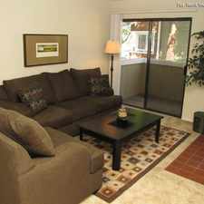
8004 Black Walnut Ct
Some errands can be accomplished on foot.
Score Details
8004 Black Walnut Ct has a Walk Score of 56 out of 100. This location is Somewhat Walkable so some errands can be accomplished on foot.
This location is in Citrus Heights. Nearby parks include Tempo Park, Sundance Park and Sunrise Oaks Park.
Explore how far you can travel by car, bus, bike and foot from 8004 Black Walnut Ct.
Bus lines:
21 SUNRISE - CITRUS HEIGHTS
0.4 mi
24 MADISON - GREENBACK
0.7 mi
28 FAIR OAKS - FOLSOM BLV
0.7 mi
1 GREENBACK
0.7 mi
23 EL CAMINO
0.7 mi
95 CITRUS HEIGHTS - ANTELOPE
0.7 mi
25 MARCONI
0.7 mi
This location is in the city of Citrus Heights, CA. Citrus Heights has an average Walk Score of 39 and has 83,301 residents.
Learn More About Citrus Heights


If you are using a screen reader or having trouble reading this website, please call Walk Score customer service at (253) 256-1634.
© 2025 Walk Score