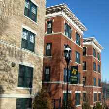
98 Begley Street

Most errands require a car.
Score Details
98 Begley Street has a Walk Score of 45 out of 100. This location is a Car-Dependent neighborhood so most errands require a car.
This location is in Agawam Town. Nearby parks include Shea Field, Shea Field and Robinson State Park.
Nearby schools include Robinson Park Elementary School, Agawam Middle School and Mittineague Elementary School.
The closest grocery stores are Stop & Save, Pajer Superette and Dairy Store.
Nearby coffee shops include The Underground Cafe, First Stop Cafe and Cigar Room 2. There are 11 restaurants within a 15 minute walk including Domino's Pizza, New King Yen Chinese Restaurant and Subway.
98 Begley Street is near Shea Field, Legion Park and Robinson State Park.
Explore how far you can travel by car, bus, bike and foot from 98 Begley Street.
Bus lines:
R14 Feeding Hills/Springfield
0.1 mi
View all Agawam Town apartments on a map.

Popular apartment searches include hardwood floor, fireplace and pool.
This location is in the city of Agawam Town, MA. Agawam Town has an average Walk Score of 21 and has 28,438 residents.
Learn More About Agawam Town



If you are using a screen reader or having trouble reading this website, please call Walk Score customer service at (253) 256-1634.
© 2026 Walk Score