
Coal Banks Trail
Some errands can be accomplished on foot.
A few nearby public transportation options.
Some bike infrastructure.

Coal Banks Trail has a Walk Score of 68 out of 100. This location is Somewhat Walkable so some errands can be accomplished on foot.
This location is in Lethbridge. Nearby parks include Galt Gardens and Aperture Park.

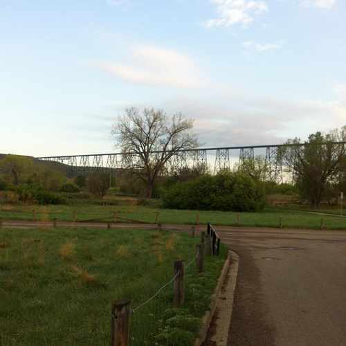
The tressle bridge in the Coolies in Lethbridge
Explore how far you can travel by car, bus, bike and foot from Coal Banks Trail.
Coal Banks Trail has some transit which means a few nearby public transportation options.
Bus lines:
2 cityLINK Blue
0.1 km
60A Stafford Dr.
0.8 km
60B Stafford Dr.
0.8 km
60C Stafford Dr.
0.8 km
4 cityLINK Orange
0.8 km
61B 5 Avenue North
0.9 km
1 cityLINK Gold
0.9 km
62 13 Street South
0.9 km
61A 5 Avenue North
0.9 km
This location is in the city of Lethbridge, AB. Lethbridge has an average Walk Score of 35 and has 83,517 residents.
Learn More About LethbridgeIf you are using a screen reader or having trouble reading this website, please call Walk Score customer service at (253) 256-1634.
© 2026 Walk Score
David R Miller