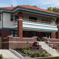
Garfield Avenue
Key Coalition, Kansas City, 64109
Commute to Downtown Kansas City
Most errands require a car.
A few nearby public transportation options.
Minimal bike infrastructure.

Garfield Avenue has a Walk Score of 49 out of 100. This location is a Car-Dependent neighborhood so most errands require a car.
This location is in the Key Coalition neighborhood in Kansas City. Nearby parks include World War II Memorial, Spring Valley Park and Crews Square.
Explore how far you can travel by car, bus, bike and foot from Garfield Avenue.
Garfield Avenue has some transit which means a few nearby public transportation options. Car sharing is available from RelayRides.
Bus lines:
31 31st Street
0.2 mi
35 35th Street
0.3 mi
PMAX Prospect MAX
0.3 mi
Garfield Avenue is in the Key Coalition neighborhood. Key Coalition is the 39th most walkable neighborhood in Kansas City with a neighborhood Walk Score of 61.
Moving to Kansas City from another city? View our moving to Kansas City guide.


If you are using a screen reader or having trouble reading this website, please call Walk Score customer service at (253) 256-1634.
© 2024 Walk Score