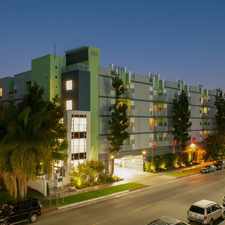
Gibson Street
South Robertson, Los Angeles, 90034
Commute to Downtown Culver City
Most errands can be accomplished on foot.
Many nearby public transportation options.
Flat as a pancake, minimal bike lanes.
About your score
Gibson Street has a Walk Score of 81 out of 100. This location is Very Walkable so most errands can be accomplished on foot.
Gibson Street is a 16 minute walk from the Metro Expo Line (806) at the Culver City Station stop.
This location is in the South Robertson neighborhood in Los Angeles. Nearby parks include Reynier Park, Irving Schachter Park and Robertson Playground.
Explore how far you can travel by car, bus, bike and foot from Gibson Street.
Gibson Street has good transit which means many nearby public transportation options. Car sharing is available from RelayRides.
Rail lines:
Metro Expo Line (806)
0.7 mi
Bus lines:
220 Metro Local Line
0.0 mi
17 Culver City Sta - UCLA
0.5 mi
33 Metro Local Line
0.5 mi
Car shares:
Bike shares:
View all South Robertson apartments on a map.

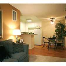
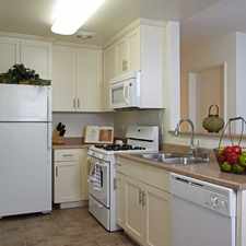
Popular apartment searches include hardwood floor, top floor and fireplace.
Gibson Street is in the South Robertson neighborhood. South Robertson is the 16th most walkable neighborhood in Los Angeles with a neighborhood Walk Score of 81.
Moving to Los Angeles from another city? View our moving to Los Angeles guide.
Livonia Glatt Kosher Market
Pat's Restaurant
Milk N Honey Restaurant


If you are using a screen reader or having trouble reading this website, please call Walk Score customer service at (253) 256-1634.
© 2025 Walk Score