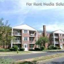
Hwy 24

Almost all errands require a car.
Score Details
Hwy 24 has a Walk Score of 13 out of 100. This location is a Car-Dependent neighborhood so almost all errands require a car.
This location is in Randolph. Nearby parks include Along Pequit Brook, North Little League Field and Along Pequit Brook.
Nearby schools include Margaret L Donovan Elementary School, Randolph Community Middle School and Boston Higashi School.
The closest grocery stores are Progressive Food Products, Fernandez brothers liquors 3 and Saigon Market.
Nearby coffee shops include Dunkin' Donuts and Dunkin' Donuts. Nearby restaurants include Upper Room Mission Inc, O'Donnell's Restaurant & Pub and La Scala Restaurant.
Hwy 24 is near North Little League Field, Bertha Soule Memorial Park and Goldstein Open Space.
Explore how far you can travel by car, bus, bike and foot from Hwy 24.
Bus lines:
240
1.0 mi
12 Brockton-Ashmont
1.0 mi
View all Randolph apartments on a map.

Popular apartment searches include pool, fitness and fireplace.
This location is in the city of Randolph, MA. Randolph has an average Walk Score of 35 and has 32,112 residents.
Learn More About Randolph


If you are using a screen reader or having trouble reading this website, please call Walk Score customer service at (253) 256-1634.
© 2026 Walk Score