
Interstate 5
Most errands require a car.
A few nearby public transportation options.
Some bike infrastructure.

Interstate 5 has a Walk Score of 35 out of 100. This location is a Car-Dependent neighborhood so most errands require a car.
Interstate 5 is a one minute walk from the MAX Yellow Line at the Expo Center MAX Station stop.
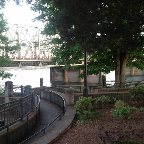
This location is in Portland. Nearby parks include Esther Short Park, Lotus Isle City Park and Fort Vancouver National Historical Site.
Explore how far you can travel by car, bus, bike and foot from Interstate 5.
Interstate 5 has some transit which means a few nearby public transportation options.
Rail lines:
MAX Yellow Line
1.0 mi
Bus lines:
71 Highway 99
0.4 mi
6 Martin Luther King Jr Blvd
0.5 mi
60 Delta Park Regional
0.5 mi
899 899
0.5 mi
105 I-5 Express
0.6 mi
Vine-Green The Vine on Fourth Plain
0.6 mi
Vine-Red The Vine on Mill Plain
0.6 mi
This location is in the city of Portland, OR. Portland has an average Walk Score of 67 and has 583,776 residents.

Jamison Square
Amnesia Brewing
Philly Cheesesteaks And Burgers
If you are using a screen reader or having trouble reading this website, please call Walk Score customer service at (253) 256-1634.
© 2026 Walk Score


April Landers