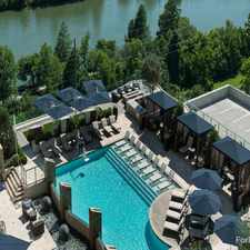
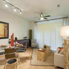
2006 Indian Trail
Most errands require a car.
A few nearby public transportation options.
Mostly flat, good bike lanes.
About your score
2006 Indian Trail has a Walk Score of 49 out of 100. This location is a Car-Dependent neighborhood so most errands require a car.
This location is in the West Austin neighborhood in Austin. Nearby parks include Tarrytown (Triangle) Park, Westenfield Park and Pease Park.
Explore how far you can travel by car, bus, bike and foot from 2006 Indian Trail.
2006 Indian Trail has some transit which means a few nearby public transportation options. Car sharing is available from Zipcar, Getaround and RelayRides.
Bus lines:
21 Exposition
0.4 mi
22 Chicon
0.4 mi
18 Martin Luther King
0.6 mi
338 Lamar/45th
0.7 mi
Car shares:
2006 Indian Trail compared to all of Austin.
Lower crime area.
Lower crime area.
How do you feel walking near 2006 Indian Trail?
Day:
Night:
Thanks for your feedback!
View all West Austin apartments on a map.

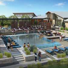
Popular apartment searches include fireplace, pool and fitness.
2006 Indian Trail is in the West Austin neighborhood. West Austin is the 49th most walkable neighborhood in Austin with a neighborhood Walk Score of 44.
Moving to Austin from another city? View our moving to Austin guide.


If you are using a screen reader or having trouble reading this website, please call Walk Score customer service at (253) 256-1634.
© 2026 Walk Score