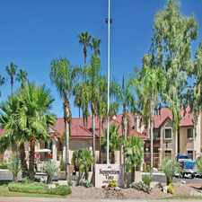
7443 East Carol Circle
Almost all errands require a car.
A few nearby public transportation options.
Flat as a pancake, good bike lanes.
About your score
7443 East Carol Circle has a Walk Score of 20 out of 100. This location is a Car-Dependent neighborhood so almost all errands require a car.
This location is in Mesa.
Explore how far you can travel by car, bus, bike and foot from 7443 East Carol Circle.
7443 East Carol Circle has some transit which means a few nearby public transportation options.
Bus lines:
40 Apache/Main
0.8 mi
184 Power
0.8 mi
45 Broadway
0.8 mi
184 Power Road
0.9 mi
MAIN Mesa Main Street BRT
0.9 mi
40 Apache/Main St
0.9 mi
MAIN Mesa Main Street LINK
0.9 mi
30 University
1.1 mi
61 Southern
1.1 mi
View all Mesa apartments on a map.

Popular apartment searches include pool, fitness and fireplace.
This location is in the city of Mesa, AZ. Mesa has an average Walk Score of 36 and has 439,041 residents.
Dobson Ranch
Woodglenn Park
Woodglenn Park


If you are using a screen reader or having trouble reading this website, please call Walk Score customer service at (253) 256-1634.
© 2026 Walk Score