Most errands require a car.
A few nearby public transportation options.
About your score
This location has a Walk Score of 48 out of 100. This location is a Car-Dependent neighborhood so most errands require a car.
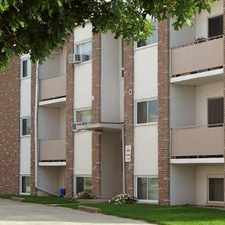
This location is in Guelph.
Explore how far you can travel by car, bus, bike and foot from this location.
This location has some transit which means a few nearby public transportation options.
Bus lines:
10 Route10-Imperia
0.1 km
9 Route9-West End Community Centre
0.2 km
2A Route2A-West Loop Clockwise
0.6 km
2B Route2B-West Loop Counter Clockwise
0.6 km
This location is in the city of Guelph, ON. Guelph has an average Walk Score of 47 and has 121,688 residents.

Hands Dr
Sunny Acres Park
Dimson Ave


If you are using a screen reader or having trouble reading this website, please call Walk Score customer service at (253) 256-1634.
© 2024 Walk Score