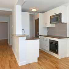
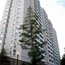
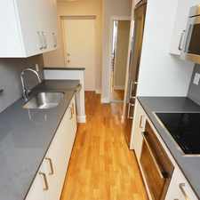
137 Morrison Avenue
Corsa Italia-Davenport, Toronto, M6E 1M5
Commute to Downtown Toronto
Some errands can be accomplished on foot.
Transit is convenient for most trips.
Flat as a pancake, some bike lanes.
About your score
137 Morrison Avenue has a Walk Score of 64 out of 100. This location is Somewhat Walkable so some errands can be accomplished on foot.
137 Morrison Avenue is a 22 minute walk from the 512 ST. CLAIR at the ST CLAIR AVE WEST AT EARLSCOURT AVE stop.
This location is in the Corsa Italia-Davenport neighborhood in Toronto. Nearby parks include Fairbanks Memorial Park, C Bereton Park and Bert Robinson Park.
Explore how far you can travel by car, bus, bike and foot from 137 Morrison Avenue.
137 Morrison Avenue has excellent transit which means transit is convenient for most trips. Car sharing is available from Zipcar.
Rail lines:
512 ST. CLAIR
0.7 km
Bus lines:
161 ROGERS ROAD
0.2 km
329 DUFFERIN NIGHT BUS
0.4 km
29 DUFFERIN
0.4 km
47 LANSDOWNE
0.6 km
312 ST.CLAIR-JUNCTION NIGHT BUS
0.8 km
Car shares:
137 Morrison Avenue is in the Corsa Italia-Davenport neighborhood. Corsa Italia-Davenport is the 43rd most walkable neighborhood in Toronto with a neighborhood Walk Score of 79.


If you are using a screen reader or having trouble reading this website, please call Walk Score customer service at (253) 256-1634.
© 2026 Walk Score