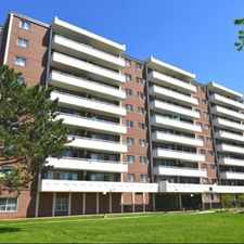
650 Eglinton Avenue West
Forest Hill North, Toronto, M5N 1C2
Commute to Downtown Toronto
Most errands can be accomplished on foot.
Many nearby public transportation options.
Flat as a pancake, excellent bike lanes.
About your score
650 Eglinton Avenue West has a Walk Score of 89 out of 100. This location is Very Walkable so most errands can be accomplished on foot.
This location is in the Forest Hill North neighborhood in Toronto. Nearby parks include Castlefield Parkette, Nicol MacNicol Parkette and Ben Nobleman Park.
Explore how far you can travel by car, bus, bike and foot from 650 Eglinton Avenue West.
650 Eglinton Avenue West has good transit which means many nearby public transportation options. Car sharing is available from Zipcar.
Rail lines:
1 LINE 1 (YONGE-UNIVERSITY)
1.4 km
512 ST CLAIR
2.0 km
Bus lines:
33 FOREST HILL
0.0 km
332 EGLINTON WEST
0.1 km
32 EGLINTON WEST
0.1 km
14 GLENCAIRN
0.1 km
90 VAUGHAN
2.0 km
126 CHRISTIE
2.0 km
Car shares:
View all Forest Hill North apartments on a map.

650 Eglinton Avenue West is in the Forest Hill North neighborhood. Forest Hill North is the 48th most walkable neighborhood in Toronto with a neighborhood Walk Score of 77.


If you are using a screen reader or having trouble reading this website, please call Walk Score customer service at (253) 256-1634.
© 2025 Walk Score