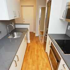
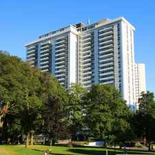
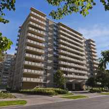
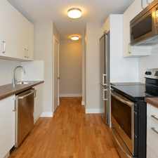
65 Hargrave Lane
Commute to Downtown Toronto
Some errands can be accomplished on foot.
Many nearby public transportation options.
Flat as a pancake, some bike lanes.
About your score
65 Hargrave Lane has a Walk Score of 62 out of 100. This location is Somewhat Walkable so some errands can be accomplished on foot.
This location is in the Bridle Path-Sunnybrook-York Mills neighborhood in Toronto. Nearby parks include Stratford Park, Cheltenham Park and Blythwood Ravine Park.
Explore how far you can travel by car, bus, bike and foot from 65 Hargrave Lane.
65 Hargrave Lane has good transit which means many nearby public transportation options. Car sharing is available from Zipcar.
Rail lines:
1 LINE 1 (YONGE-UNIVERSITY)
1.8 km
Bus lines:
124 SUNNYBROOK
0.1 km
11 BAYVIEW
0.1 km
352 LAWRENCE WEST NIGHT BUS
0.1 km
162 LAWRENCE-DONWAY
0.5 km
Car shares:
View all Bridle Path-Sunnybrook-York Mills apartments on a map.

65 Hargrave Lane is in the Bridle Path-Sunnybrook-York Mills neighborhood. Bridle Path-Sunnybrook-York Mills is the 124th most walkable neighborhood in Toronto with a neighborhood Walk Score of 58.


If you are using a screen reader or having trouble reading this website, please call Walk Score customer service at (253) 256-1634.
© 2025 Walk Score