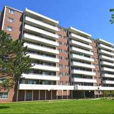
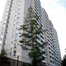
Don Valley Parkway
Most errands require a car.
Many nearby public transportation options.
Mostly flat, minimal bike lanes.
About your score
Don Valley Parkway has a Walk Score of 40 out of 100. This location is a Car-Dependent neighborhood so most errands require a car.
This location is in the Banbury-Don Mills neighborhood in Toronto. Nearby parks include Moccasin Trail Park, Anewen Greenbelt and Wigmore Park.
Explore how far you can travel by car, bus, bike and foot from Don Valley Parkway.
Don Valley Parkway has good transit which means many nearby public transportation options. Car sharing is available from Zipcar.
Bus lines:
34 EGLINTON EAST
0.2 km
144 DOWNTOWN/DON VALLEY EXPRESS
0.2 km
100 FLEMINGDON PARK
0.2 km
334 EGLINTON EAST
0.2 km
Car shares:
View all Banbury-Don Mills apartments on a map.

Don Valley Parkway is in the Banbury-Don Mills neighborhood. Banbury-Don Mills is the 87th most walkable neighborhood in Toronto with a neighborhood Walk Score of 67.


If you are using a screen reader or having trouble reading this website, please call Walk Score customer service at (253) 256-1634.
© 2025 Walk Score