Most errands require a car.
Many nearby public transportation options.
Very steep hills, excellent bike lanes.
Score Details
This location has a Walk Score of 27 out of 100. This location is a Car-Dependent neighborhood so most errands require a car.
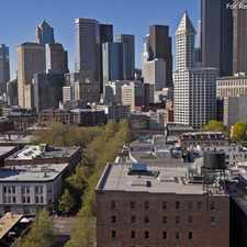
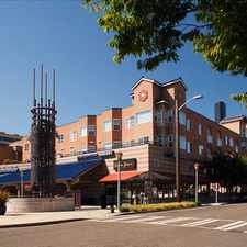
This location is in the North Delridge neighborhood in Seattle. Nearby parks include Dragonfly Pavillion, Delridge Playfield and Pigeon Point Park.
Explore how far you can travel by car, bus, bike and foot from this location.
This location has good transit which means many nearby public transportation options. Car sharing is available from RelayRides and Zipcar.
Bus lines:
21
0.2 mi
37
0.2 mi
125
0.3 mi
50
0.3 mi
120
0.3 mi
55
0.5 mi
773
0.5 mi
C Line
0.6 mi
Car shares:
This location compared to all of Seattle.
Lower crime area.
Lowest crime area.
How do you feel walking near this location?
Day:
Night:
Thanks for your feedback!
View all North Delridge apartments on a map.

This location is in the North Delridge neighborhood. North Delridge is the 80th most walkable neighborhood in Seattle with a neighborhood Walk Score of 55.
Moving to Seattle from another city? View our moving to Seattle guide.


If you are using a screen reader or having trouble reading this website, please call Walk Score customer service at (253) 256-1634.
© 2026 Walk Score